INSTALLATION PREPARATION
Equipment and preparation needed to install, locate, and map InfraMarker®
InfraMarker uses a 3-level approach for geo-data management. Data added to the tag stores information related to the asset, including the tag position relative to the asset.
Field data collection verifies the tag’s position relative to other above-ground assets (such as a photo of asset [or the asset revealed by excavation], or videos of the surrounding terrain to assist in relocating the asset) and can include comments related to the installation or reading of that tag.
Data added by the administrator is appended to the record and may include customer specific information, historical records or other documents related to that asset.
INFRAMARKER TAGS
InfraMarker tags are standard Class 1, Gen 2 RFID tags that have been tested and approved by InfraMarker for use in infrastructure management applications. The InfraMarker tags are provided to the customer with a standard data schema that works with InfraMarker software.
The standard data schema is set up as follows:
Asset Owner
Asset Type
Asset Function
Asset Material
Asset Feature
Latitude
Longitude
Tag Install Date/Time stamp
Depth from Surface to Asset
Offset Direction & Distance
TWO TYPES OF INFRAMARKER TAGS ARE AVAILABLE
InfraMarker-enabled underground markers that include an RFID tag, magnet, and steel backing. These tags are the IM483B, IM362B, IM221B , and IMDEEP 1.
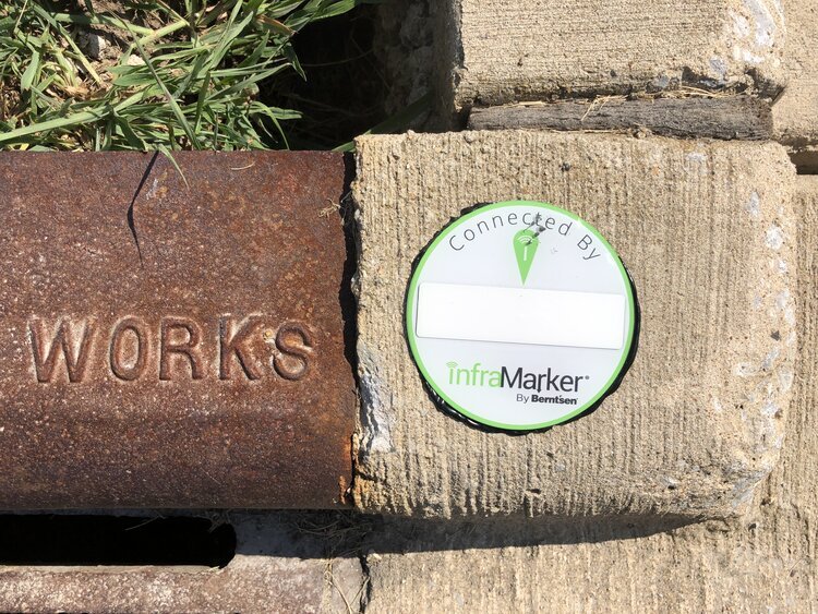
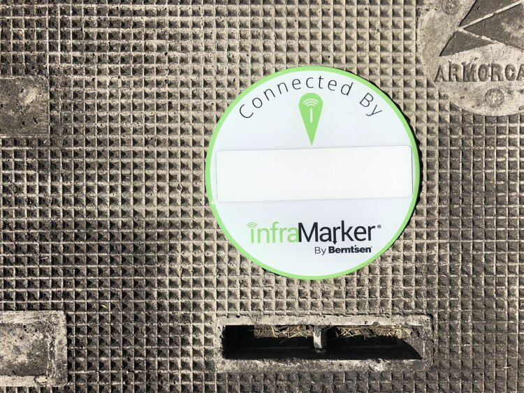
InfraMarker-enabled above ground marking products including customizeable label for catch basin, curb marking or other applications where a label is required. In addition, the fire hydrant marker is available and can be used on metal hydrants or utility poles.
APP DATA RECORD
The InfraMarker record is contained in the app and uploaded to your GIS or the InfraMarker Cloud in the following format:
Tag information
Handheld data information
Mobile Device ID
User ID from Mobile Device
Date/Time Stamp of read
Comments [recommended to communicate information about the tag position relative to other landmarks or important information related to above ground location].
CLOUD RECORD
Every app record from every InfraMarker tag is uploaded to your GIS system or the InfraMarker cloud. This record can be appended by the customer with information specific their asset management needs.
INFRAMARKER WEBSITE
The InfraMarker website collects registration information, controls user access for download and display, links to InfraMarker training and support material, and offers the customer the ability to purchase InfraMarker related marking products and support.
RFID SCANNER
InfraMarker’s lightweight Bluetooth® UHF RFID readers are capable of reading and writing to tags directly from a Bluetooth-enabled mobile device. Equipped with a powerful Impinj R2000 core and range of interchangeable high-performance antennas, it delivers reliable reads even in difficult or deep placements.